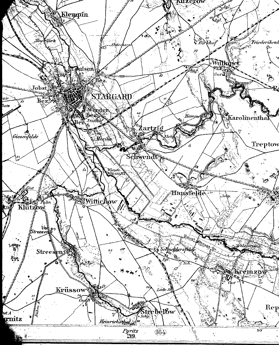
A detailed 1893 map showing Stargard in the county of Saatzig, Pomerania.
[map covers an area of about 7.5 x 9 miles]
From the Library of Congress collection of historic 1:100,000 scale topographic maps of Germany. Karte des Deutschen Reiches, Reichsamt fur Landesaufnahme, Berlin.
| Map to the north | A 1:350,000 scale map | |
| Back to Pomerania | Table of Contents | Home |