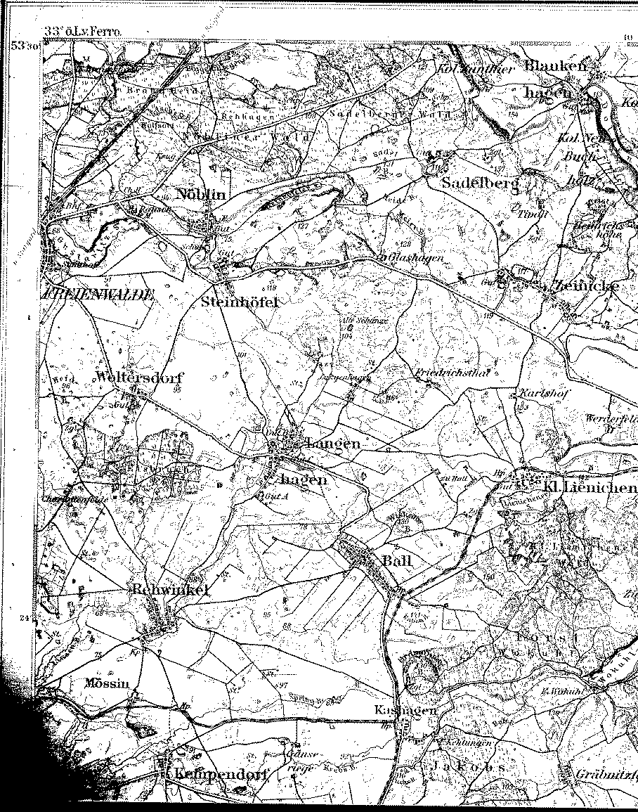
A detailed 1893 map showing part of the county of Saatzig, Pomerania. [map covers an area of about 7 x 9 miles]
The longitude on this map is based on the Ferro Meridian.; Subtract 17° 40' to convert to Greenwich.
Note: Friedrich and Bertha (Vogelman) Köhler moved to Steinhöfel sometime after January 1866. Their youngest daughter, Mathilde Louise, was born there in 1869. Braunsforth, where the Julius and Emilie (Köhler) Maass family lived, is about 3 miles north of Freienwalde.

From the Library of Congress collection of historic 1:100,000 scale topographic maps of Germany. Karte des Deutschen Reiches, Reichsamt fur Landesaufnahme, Berlin.
| Map to the west | Map to the north | A 1:350,000 scale map |
| Back to Pomerania | Table of Contents | Home |