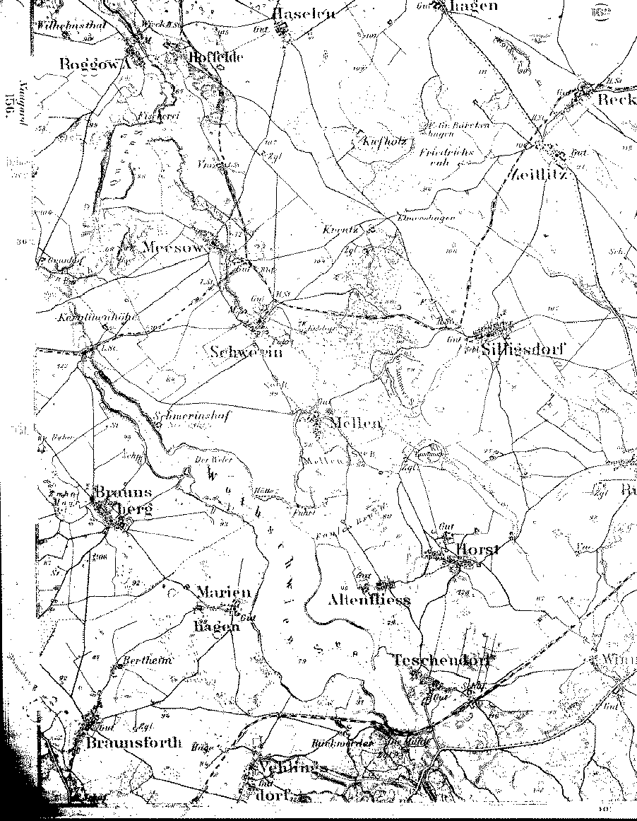
A detailed 1893 map showing parts of the counties (Kreise) of Regenwalde, Naugard and Saatzig, Pomerania. [map covers an area of about 7 x 9 miles. Braunsforth and Vehlingsdorf are in Kr. Saatzig and Braunsberg and Marienhagen are in Kr. Naugard. The area above and to the right of the Wothschwien See is in Kr. Regenwalde.]
From the Library of Congress collection of historic 1:100,000 scale topographic maps of Germany. Karte des Deutschen Reiches, Reichsamt fur Landesaufnahme, Berlin.
| Map to the west | Map to the north | Map to the south | A 1:350,000 scale map |
| Back to Pomerania | Table of Contents | Home |