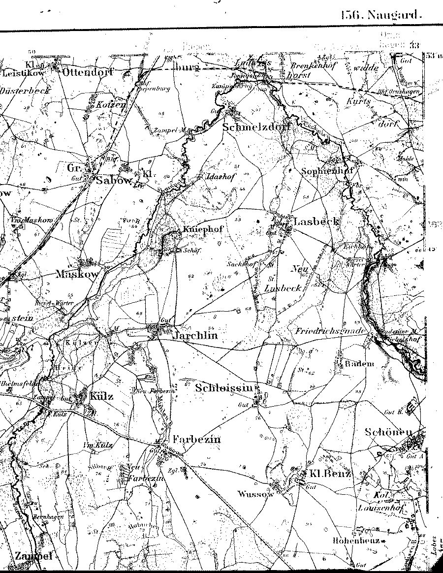
A detailed 1893 map showing parts of the counties (Kreise) of Naugard and Regenwalde, Pomerania. [map covers an area of about 7.5 x 9 miles. A line drawn from the NW corner to the SE corner of the map approximates the county line separating the two counties with Kr. Regenwalde to the east.]
The longitude on this map is based on the Ferro Meridian. Subtract 17º 40' to convert to Greenwich.
Note: The David and Friederike Maass family lived in Ornshagen in Kr. Regenwalde prior to 1857. Ornshagen is just off the map in the far northeast corner. Only the Gut (the estate) is visible on this map. Kniephof, which lies in the upper center of the map, was the village where Chancellor Otto von Bismarck lived during his childhood, except while attending school in Berlin.

From the Library of Congress collection of historic 1:100,000 scale topographic maps of Germany Karte des Deutschen Reiches, Reichsamt fur Landesaufnahme, Berlin.]
| Map to the south | |||