![]()
| AZ | AR | CA | MI | MN | NC | ND | OK | TX |
| GERMANY | POLAND |
Click on photos below to enlarge
ARIZONA
| Photos | Descriptions | Names |
|---|---|---|
 |
Globe Cemetery, Globe, AZ Located on Hackney Avenue Latitude: 33.393, Longitude: -110.797 (photo by Johnny Holmes) |
Alfred E. Harrington |
 |
Mountain Breeze Memorial Gardens, Miami, AZ Located southwest of Miami along Hwy US 60 at milepost 240. Latitude: 33.368N, Longitude: -110.929W |
Harold and Lucille (Harrington) Holmes |
 |
Mountain View Cemetery, Casa Grande, AZ Located on 15506 West Skyway Ave just east of South Trekell Rd. Latitude: 32.833N, Longitude: -111.732W |
John and Bertha (Gaston) Harrington Rose Burr Vanderburg |
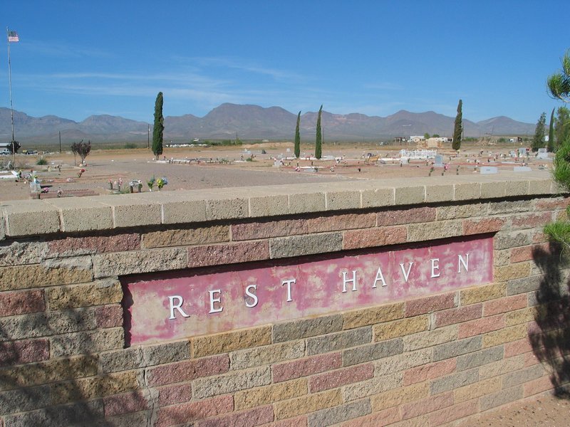 |
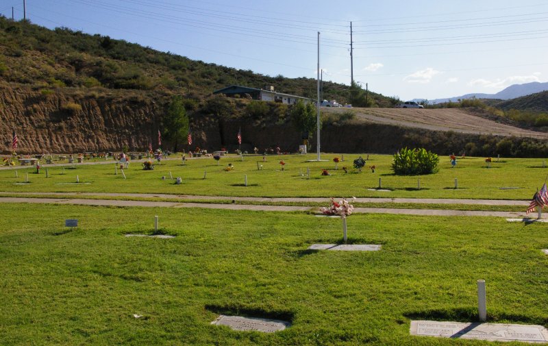
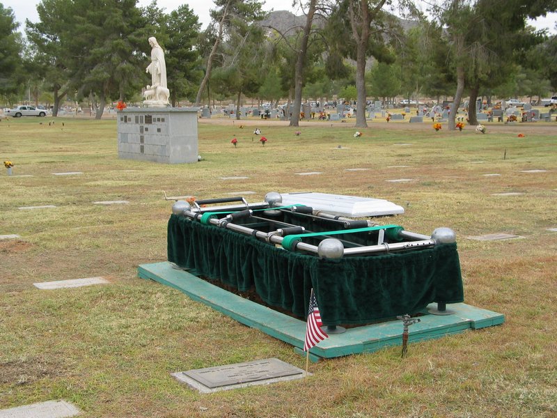
Rest Haven Memorial Gardens, Safford, AZ Located north of Safford on east Airport Road. Directions from Safford - take 8th Avenue north across the Gila River until the road makes a fork. Veer to the right (going east), where the road becomes Airport Road. The cemetery is about a mile from the fork on the north side of the Road. Latitude: 32.86N, Longitude: -109.701W |
Homer Albert Dudley Robert and Cora (Vanderburg) Hamilton Eugene and Rosalie (Vanderburg) Harrington |
ARKANSAS
| Photos | Descriptions | Names |
|---|---|---|
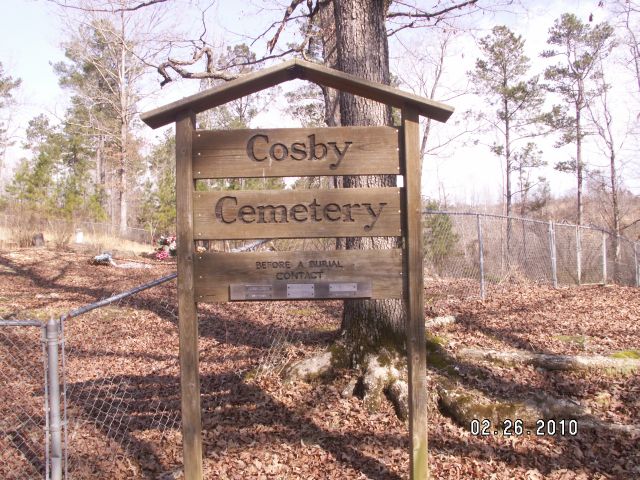 |
Cosby Cemetery, Jessieville, Garland Co., AR Located about one mile east of the Jessieville First Baptist Church on Beaudry Cir. Latitude: 34.707N, Longitude: -93.043W (photo by Marilyn Connell-Warren) |
Arza T. Beardsley |
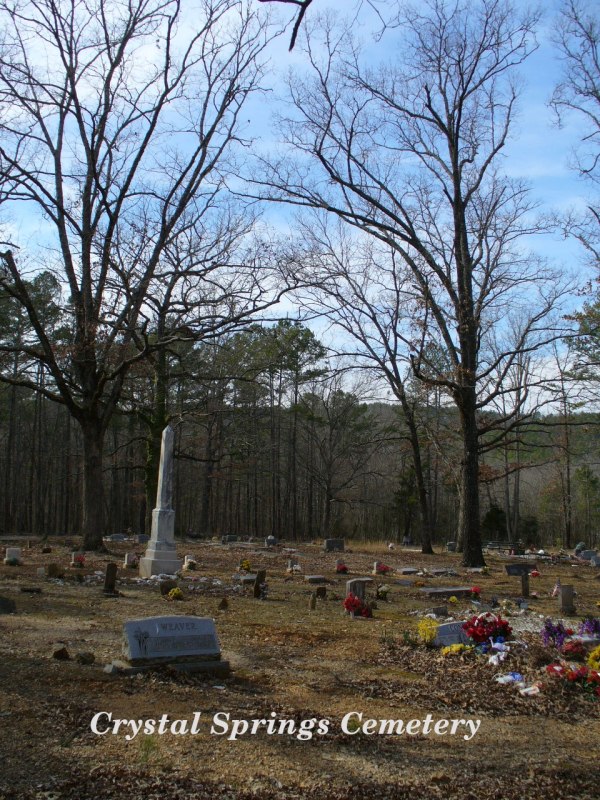 |
Crystal Springs Cemetery, Garland Co., AR Located about 0.5 mi. west of Crystal Springs on Albert Pike Road. Directions from Hot Springs: Take Hwy. 270 West to Crystal Springs approximately 15 miles. Turn left on Ragweed Valley Road and take the first left which ends at cemetery. Latitude: 34.5208N, Longitude: -93.3444W (photo by Widow posted on Find-A-Grave website) |
David C. and Nettie (Black) Beardsley |
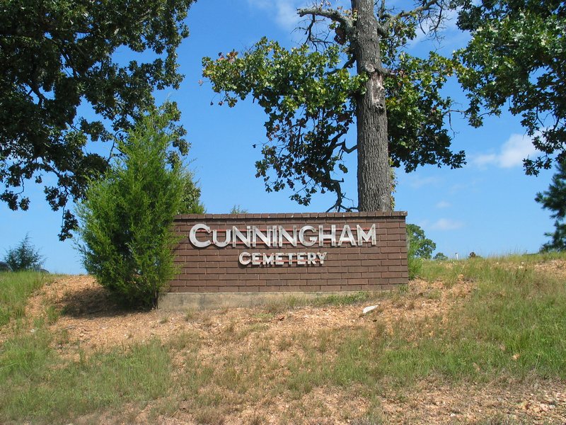 |
Cunningham Cemetery, Royal, Garland Co., AR Located west of Hot Springs on Old Bear Road between Job Corp Rd. and Kingfisher Ln. Directions from Hot Springs: Take 270 west. Turn right on the Old Bear Road. Go 4 miles and cemetery is on the right. Latitude: 34.529N, Longitude: -93.22W |
Tinslo "Tin" L. and Callie (Hisaw) Vanderburg George Lee Vanderburg James Arther Vanderburg Joyce Howard Vanderburg Noah F. Vanderburg Tennie Aldertine Vanderberg |
  Vanderburg Plot Vanderburg Plot |
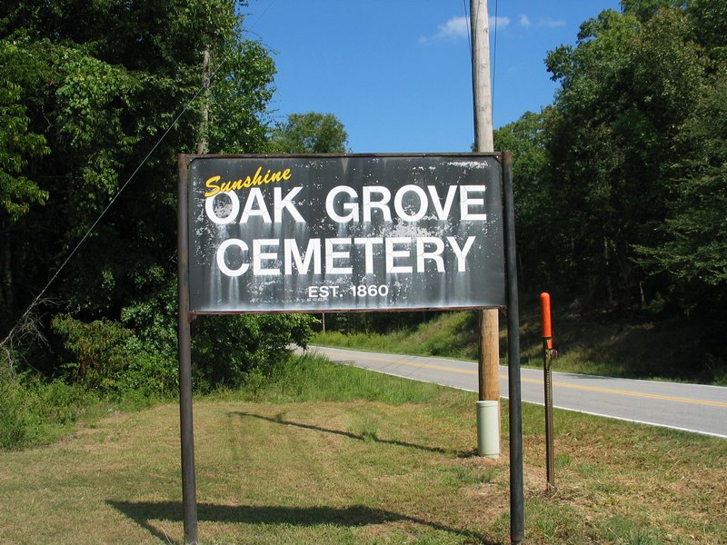
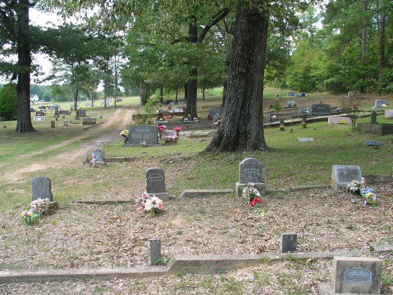
Oak Grove Cemetery, Hot Springs, AR Located west of Hot Springs at the junction of Oakgrove Rd. and Oakgrove Tr., about a half mile from Hwy 227. Directions from Hot Springs: Take State Hwy. 70 west for about 6 mi. from the west end of the bridge over Lake Hamilton; turn off of 70 West at the Hemp Wallace sign onto Hwy. 227 or locally known as Sunshine Road; about 3 to 4 mi. down Sunshine Road, turn to your right onto Oak Grove Road, the cemetery will be about a tenth of a mile ahead on your left, about 300 feet off the road. Latitude: 34.481N, Longitude: -93.24W |
Ollie Ann (Vanderburg) Holt William P. Holt Drewy W. Mathews Elisha William Mathews M. Small Mathews Frankland Haynes Vanderburg Jacob Lester Vanderburg Lloyd and Mary (Blackwelder) Vanderburg Marvin and Hazel (Smith) Vanderburg Philip Ray Vanderburg Sue (Truett) Vanderburg |
 |
Old Seminary Cemetery, Stephens, AR Directions from Stephens: Take Hwy. 57 north for 2.5 mi. Turn left on a gravel road (Co. Rd. 104) and go 0.9 mi. to a sharp curve to the right. Two dim roads will leave the gravel road in this sharp curve. The first one (Co. Rd. 112) leads to a Black cemetery still in use. The second road is very dim and is about 50 feet from the first one. The cemetery is on the right, about 0.2 mi. down this dim road.(photo and directions by Jerry McKelvy) | Elizabeth (Walker) Morgan James Beverly Morgan |
CALIFORNIA
| Photos | Descriptions | Names |
|---|---|---|
 |
Eternal Hills Memorial Park, Oceanside, CA Located at corner of So. El Camino Real and Fire Mountain Dr. |
Otis and Christine Vanderburg |
MICHIGAN
| Photos | Descriptions | Names |
|---|---|---|
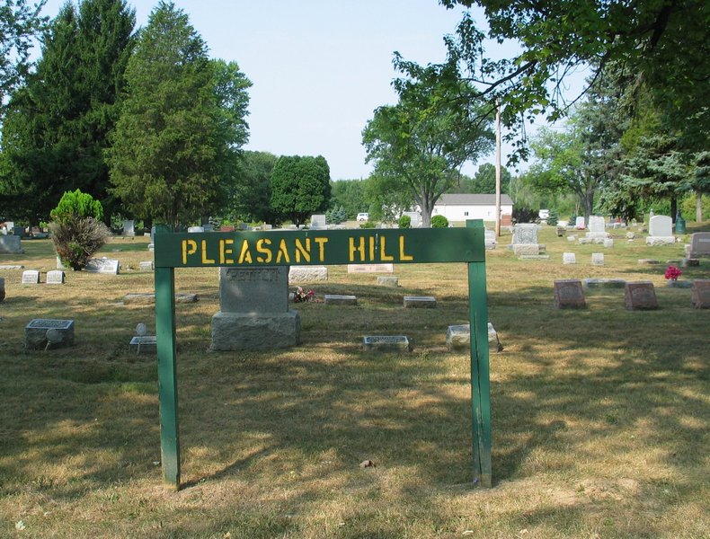 |
Pleasant Hill Cemetery, Bath, MI Located at the corner of Webster & Drumheller Roads Latitude: 42.807N, Longitude: -84.449W |
Thomas A. "Burt" and Julia M. Beardsley |
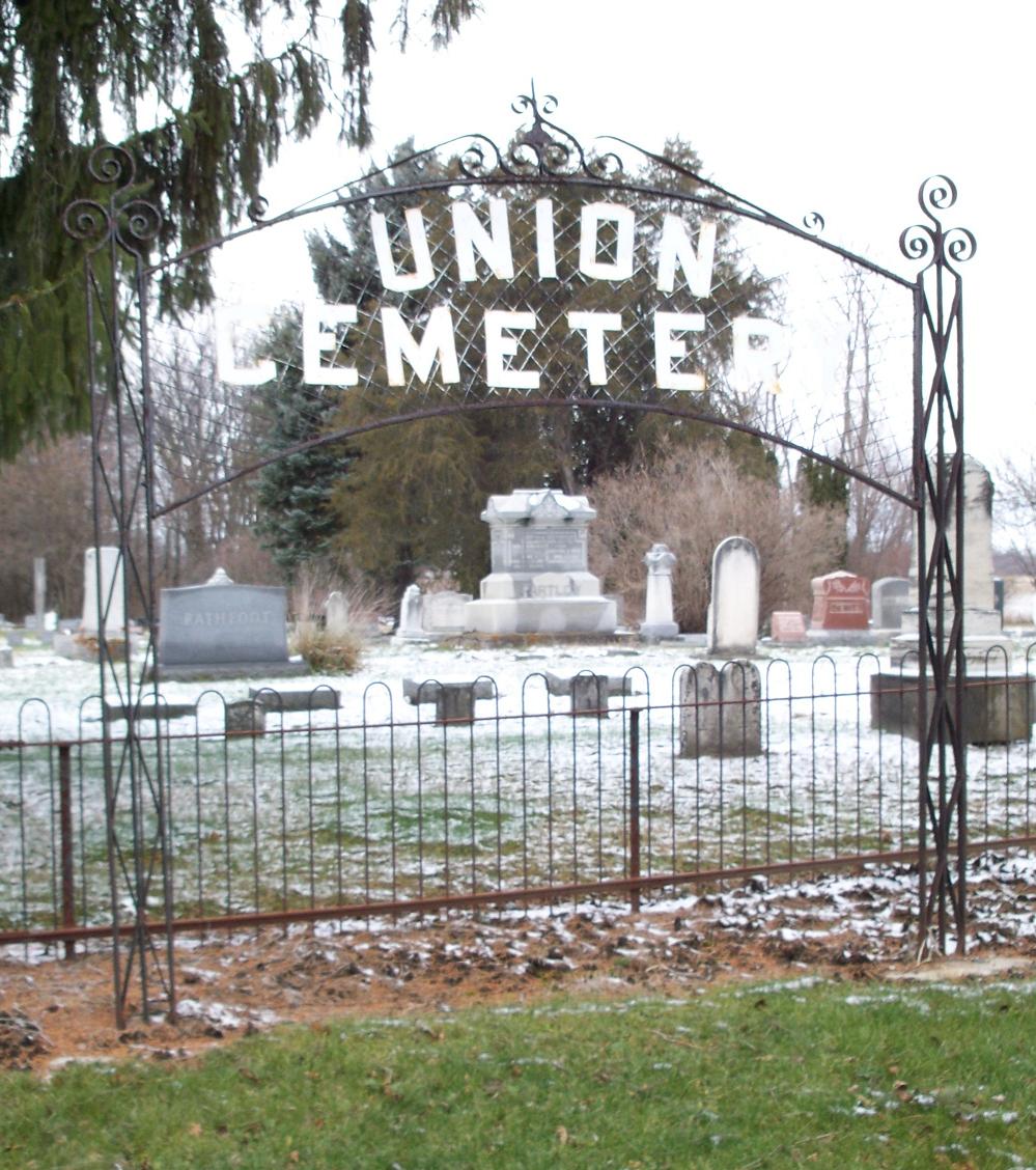 |
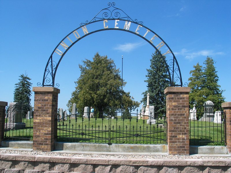
Union Cemetery, Grand Ledge, Eaton Co., MI (Also known as the Partlow Cemetery or Johnson Cemetery) Located west of Grand Ledge on Benton Road in Oneida Township just north of Hwy. 43. Latitude: 42.7670N, Longitude: -84.8187W (photo by Marlaina Taylor) |
Semantha (Partlow) Davenport Almond Partlow Ephraim M. and Annie (Sessions) Partlow Johnathan Partlow Levi P. and Mary J. (Blasier) Partlow Mary L. Partlow Palmer and Eliza (Sanders) Partlow |
MINNESOTA
| Photos | Descriptions | Names |
|---|---|---|
 |
Alden Cemetery Alden, MN Located on Co. Hwy. 6 just north of Hwy. 109 Latitude: 43.679N, Longitude: -93.583W |
Reinhart and Bertha (Luskow) Maas |
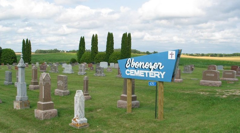 |
Ebenezer Lutheran Cemetery in Ida Twp. Douglas Co., MN. Located 0.75 mi. east of the junction of County Roads 5 NW and 6 NW Directions from Garfield: Take Co. Hwy. 22 east about 2 mi. and turn left on Co. Rd. 6 NW going north, continue for about 5.5 mi, then 0.75 mi. east on Co. Rd. 5 Latitude: 46.027N, Longitude: -95.441W. |
Fritz Karl Maas |
 |
First Lutheran Church Cemetery in Cosmos Twp., Meeker Co., MN Directions from Cosmos: Take Hwy. 7 east 1 mi, then north 1.5 mi on 545th Ave. to 145th St. Turn right and the church is 1/2 down the road on your left. |
Oscar and Agnes (Draxton) Maas |
 |
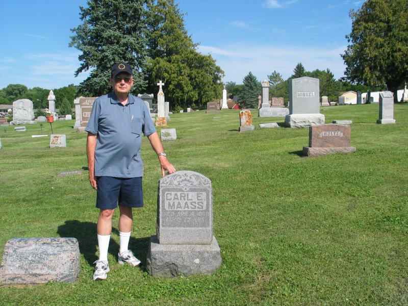
Hector Cemetery in Renville County, Hector, MN Located on Hwy. 4 about 0.7 mi south of US Hwy 212 Latitude: 44.730N, Longitude: -94.722W |
Carl Friedrich Antonio Maass Herman and Lena (Besser) Maass Leona Augusta Johanna Maass Leonard and Cora (Katzenmeyer) Maas |
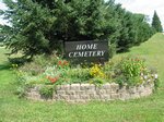 |
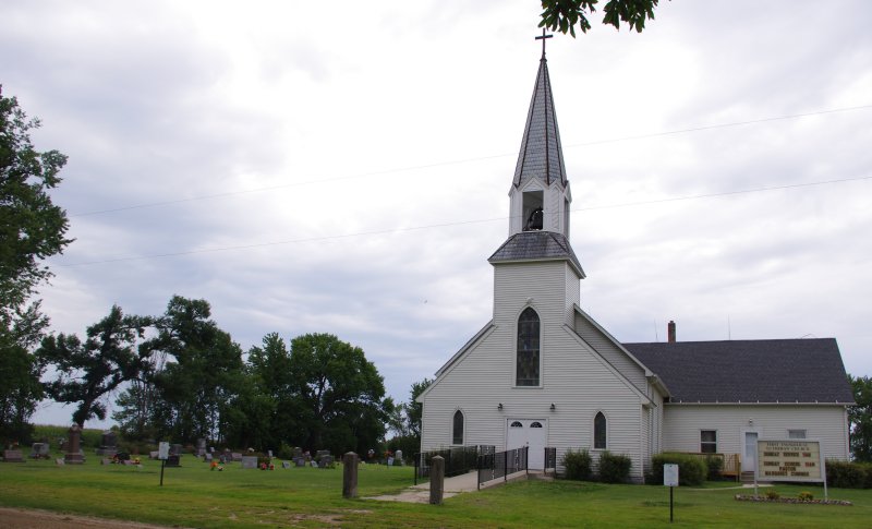
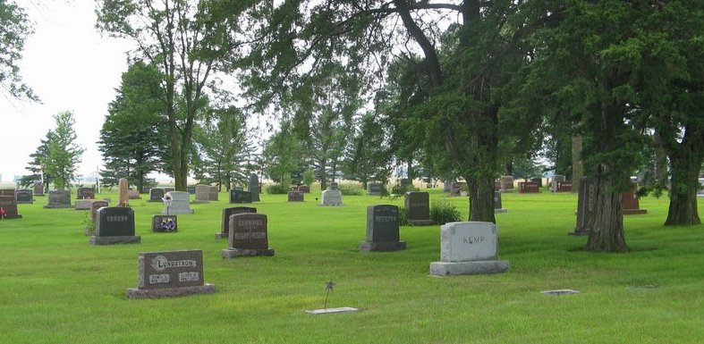
Home Cemetery, Sleepy Eye, MN Located on St. Mary's St. NE Latitude: 44.304N, Longitude: -94.711W |
Alice (Maas) Radel Brian Mark Maas Gilbert August Maas Lucille Deloris (Maas) Neal William and Lillian (Kroschel) Maas |
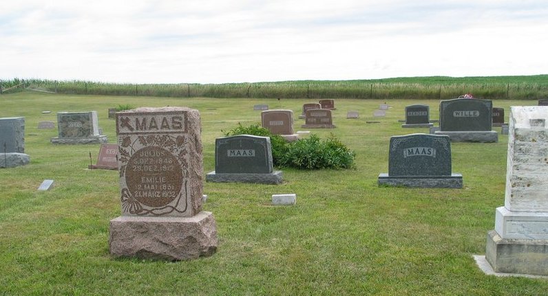 |
Johnsonville Township Cemetery, Redwood Co., MN Located on County Rd. 10 about 1.75 mi north of County Rd 4 in Section 10 of Twp. 110N, Range 38W Latitude: 44.3524N, Longitude: -95.4104W |
Albert and Marie (Hansen) Maas August and Clara (Engelmeier) Maas Carl August Walter Maas Frank W. J. Maas Julius and Emilie (Köhler) Maas Martha L. J. (Wandersee) Maas Paul J. Maas Lowell Schmiesing |
 |
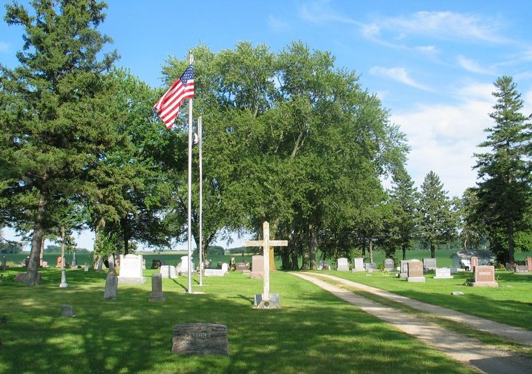
Medo Lutheran Cemetery south of Pemberton, MN Located at the intersection of County Rds. 53 and 21 Directions from Pemberton: Take County Rd. 53 south to County Rd. 21 Latitude: 43.9626N, Longitude: -93.7873W Established: 1876 |
Anita Edna Lust Raymond F. Lust Rosalia (Maass) Lust Darold Eugene Maass Duane Maass Elmer and Ruth Maass Frank W. and Marie (Holtz) Maass Merlin F. Maass |
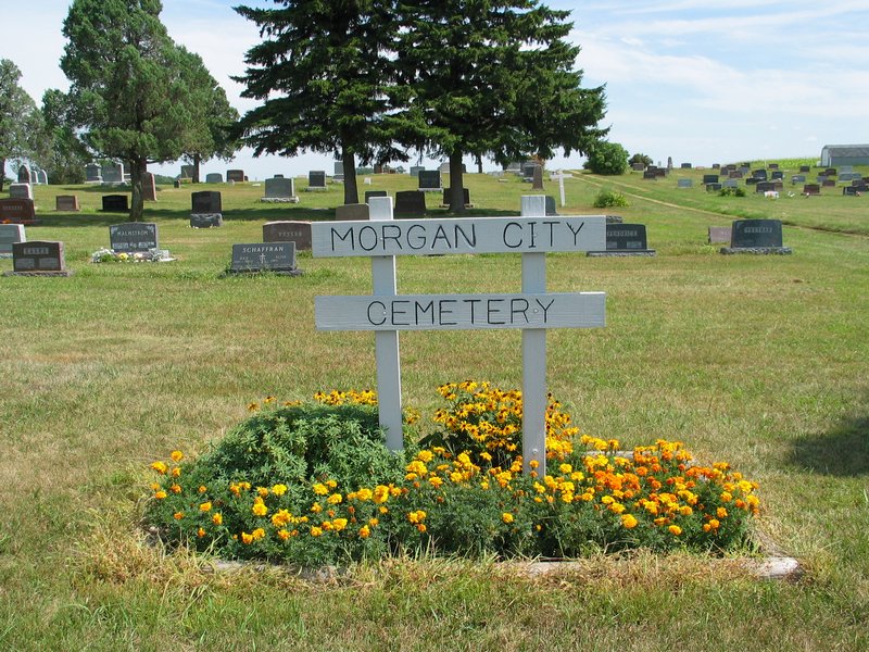 |
Morgan City Cemetery Morgan, MN Located on County Rd. 2 about one mile south of Morgan Latitude: 44.394N, Longitude: -94.926W |
Erwin Otto Maas |
 |
Peace United Church of Christ Cemetery Minnesota Lake, MN Located on Cemetery Rd. about one-half mile northeast of town Latitude: 43.849N, Longitude: -93.828W |
Arthur and Mathilda (Schwarz) Budach Eileen M. Budach Gustav and Ida (Schwarz) Budach Palmer and Bernita (Kunz) Hoechst |
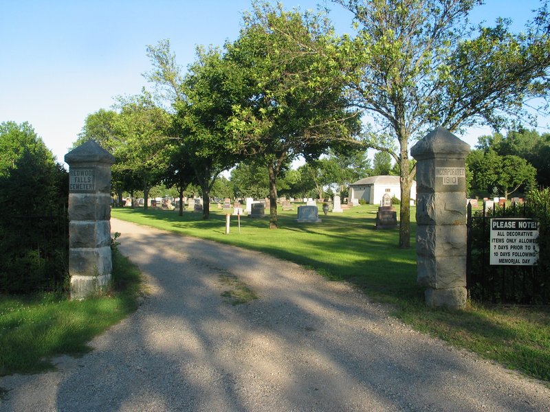 |
Redwood Falls Cemetery, Redwood Falls, MN Located on No. Swain St. about 1/4 mi. north of Northwood Dr. Latitude: 44.550N, Longitude: -95.098W |
Melvin and Verna (Steffen) Leopold Melvin and Bernice (Hendrickson) Noack |
 (photo courtesy of Lori Fuller) (photo courtesy of Lori Fuller) 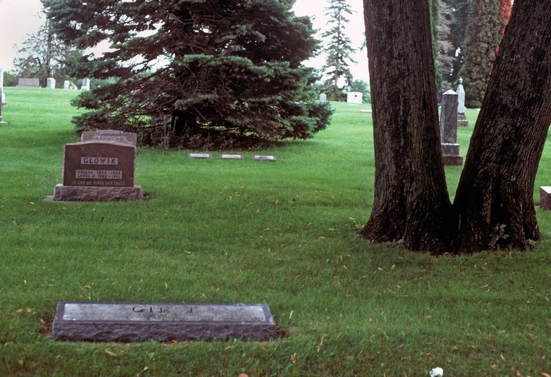 |
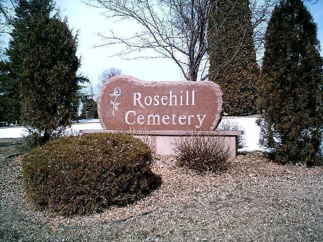
Rose Hill Cemetery, Wells, MN Located west of Wells at the junction of Hwy 109 and Half Moon Rd. Latitude: 43.747N, Longitude: -93.739W |
Adolph and Ada Giese Charles and Clara Giese Dale F. Giese Elwood S. Giese Emilie (Maass) Giese Esther M. Klingbeil August and Clara (Block) Wetzel Evelyn (Giese) Zabel |
 |
St. John's Lutheran Cemetery, Blue Earth Co., Danville Twp., MN Located at the junction of Hwy. 30 and Co. Rd. 161 northeast of Minnesota lake, MN Latitude: 43.8911N, Longitude: -93.7873W Established: 1868 |
Ella Pick John and Bertha (Maas) Pick Martha E. Pick Marten Pick Walter J. Pick Werner C. Pick Anna (Maas) Schwarz William Schwarz |
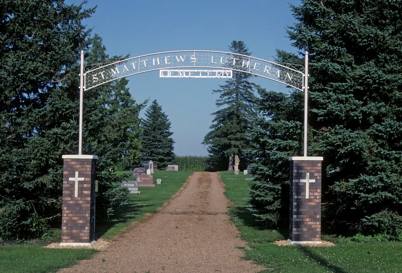 |
St. Matthew Lutheran Cemetery, rural Wabasso, MN Located at the junction of Co. Rd 55 and Hunter Ave. Directions from Wabasso: Take State Hwy. 68 about 0.5 mi. west to Co. Hwy. 6, then 3 mi. south to Co. Rd 55 (210th St.) and 1 mi. west to Hunter Ave. Latitude: 44.355N, Longitude: -95.288W |
Heinrich Luedtke Johanna (Maass) Luedtke Werner and Ella (Wandersee) Luedtke |
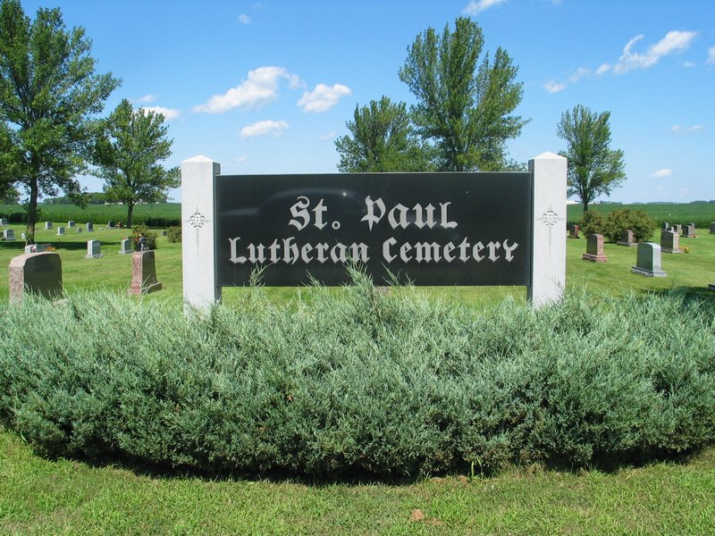 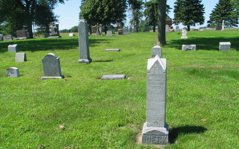 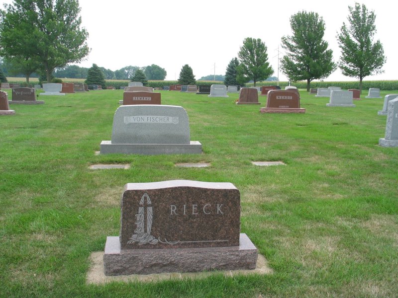 |
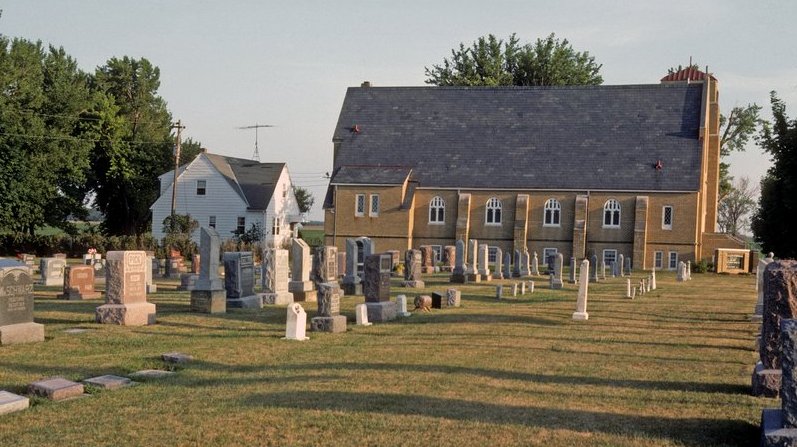
St. Paul Lutheran Cemetery, Springfield, MN Located northeast of Springfield on 200th St. just east of Co. Rd. 5 Latitude: 44.253N, Longitude: -94.961W |
Esther (Maas) Gatzlaff Edward and Emma (Wetzel) Kettner Amanda Anna Rieck Caroline (Liepke) Rieck Christian Rieck Datie (Moore) Rieck Dennis Rieck Marilyn W. Rieck Marvin Walter Rieck Robert W. Rieck Rudy and Esther (Schulz) Rieck Walter W. Rieck Wilhlem "William" and Marie (Schulz) Rieck |
 |
St. Paul's Lutheran Cemetery New Ulm, MN Located on 21st N St. between N Garden St. and Cemetery Ave. Latitude: 44.3333N, Longitude: -94.4888W |
Hilda (Timm) Ebert Lydia (Timm) Neemann Joseph and Anna (Luedtke) Timm Gladys Timm Wilbert Timm |
 |
Sanborn Cemetery, Sanborn, MN Located on Co. Rd. 12 (100th St.) about 1/4 mi. west of US Hwy. 71 Latitude: 44.196N, Longitude: -95.125W |
Allen and Ethel Steffen Arnold and Elaine Steffen Gustave and Hattie Steffen Kathleen Steffen Muriel Steffen Raymond and Loretta Steffen Stuart Steffen |
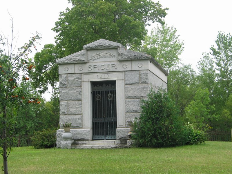 |
Spicer Family Cemetery, Spicer, MN Located at the intersection of Co. Rd. 10 and 6th Ave. Latitude: 45.2325N, Longitude: -94.9455W |
Marvin and Leona (Maas) Struck |
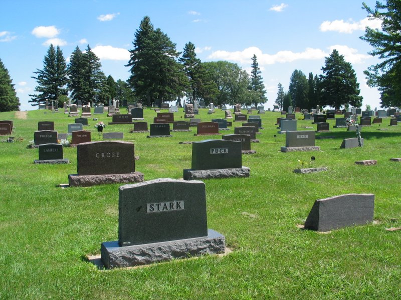 |
Springfield City Cemetery, Springfield, MN Located on Co. Hwy. 24 about one half mile east of Co. Hwy. 5 Latitude: 44.230N, Longitude: -94.957W |
William J. and Emma P. (Maas) Stark Carl and Bertha (Koehler) Wetzel |
  Gene Maas 8/17/2010 Gene Maas 8/17/2010 |
Union Cemetery, Mapleton, MN Located west of Mapleton at the junction of Hwy 30 and 3rd Ave. SW Latitude: 43.928N, Longitude: -93.963W Established: April 4, 1881 |
Carl and Martha (Maass) Besser Herman and Hedwig "Hattie" (Maass) Hawker Paul and Bernadine (Maass) Kunz Carl Friedrich Erdmann Maass Carl and Amelia Proehl Carl and Minnie (Maass) Proehl Edwin and Esther (Schubbe) Proehl Elizabeth Proehl Emilie (Luedtke) Proehl Evelyn Proehl Gerald and Elaine (Severtson) Proehl Herbert Proehl Iva May (Hinkley) Schmiesing Proehl Selma Proehl William Proehl |
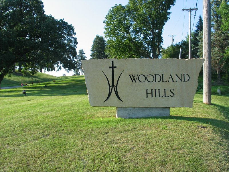 |
Woodland Hills Cemetery Mankato, MN Located at 1605 Woodland Ave Latitude: 44.1461N, Longitude: -94.0272W |
Aymer and Ella (Maas) Axtelle Ewald and Everell (Schmiesing) Bartsch Clayton Price Malone George and Hattie (Besser) Rinehart |
 |
Zoars Cemetery, Waseca County, Waldorf, MN Located at the corner of Directions from Waldorf: Take Hwy 83 south to 240th Ave., then 1.5 mi. west Latitude: 43.906N, Longitude: -93.748W |
William and Emma (Schwarz) Beske Wilhelmine (Rix) Maass |
NORTH CAROLINA
| Photos | Descriptions | Names |
|---|---|---|
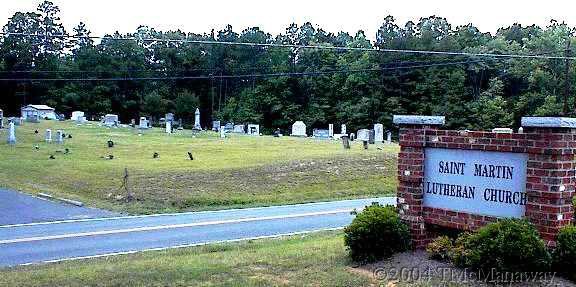 |
St Martin Lutheran Church Cemetery, Cabarrus County, NC Located at 5469 Hwy 200, Concord, NC (photo courtesy of T. McManaway) | Francis Vanderburg Elizabeth (Perry) Vanderburg |
 |
Saint Johns Evangelical Lutheran Church Cemetery, Cabarrus County, NC Located at 100 St John's Church Rd, Concord, NC (photo courtesy of Connie Cunningham) |
Jacob Blackwelder Johann Jacob Meisenheimer Elizabetha "Betsey" Phifer Anna Margaretha Reiter Gottlieb "Caleb" Schwarzwelter |
NORTH DAKOTA
| Photos | Descriptions | Names |
|---|---|---|
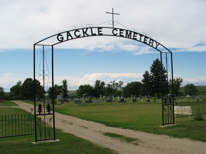 |
Gackle Cemetery, Gackle, ND Located in the southwest corner of Gackle on Spruce St. west. Latitude: 46.6245N, Longitude: -99.1512W |
Edwin "Pete" and Anna (Stroh) Brunnmeier John and Katherine (Just) Meidinger Ted and Marie (Dorr) Meidinger |
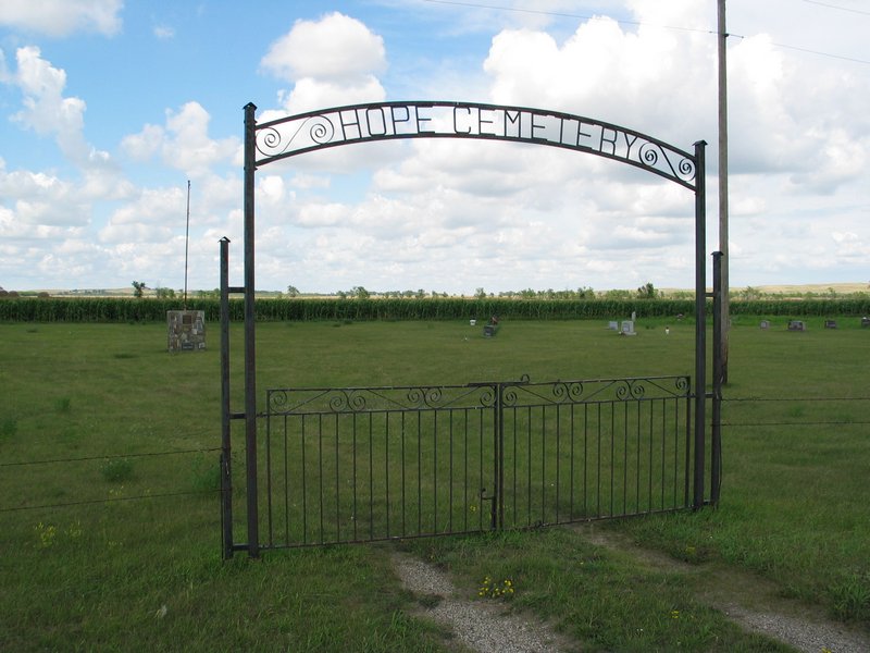 |
Hope Evangelical United Brethren Cemetery, Logan County, ND Located southwest of Streeter, ND near the intersection of 59th St. SE and 48th Ave. SE in SW 1/4 of Section 25, Twp., 136, Range 69 Latitude: 46.558N, Longitude: -99.433W |
Meidinger baby girl |
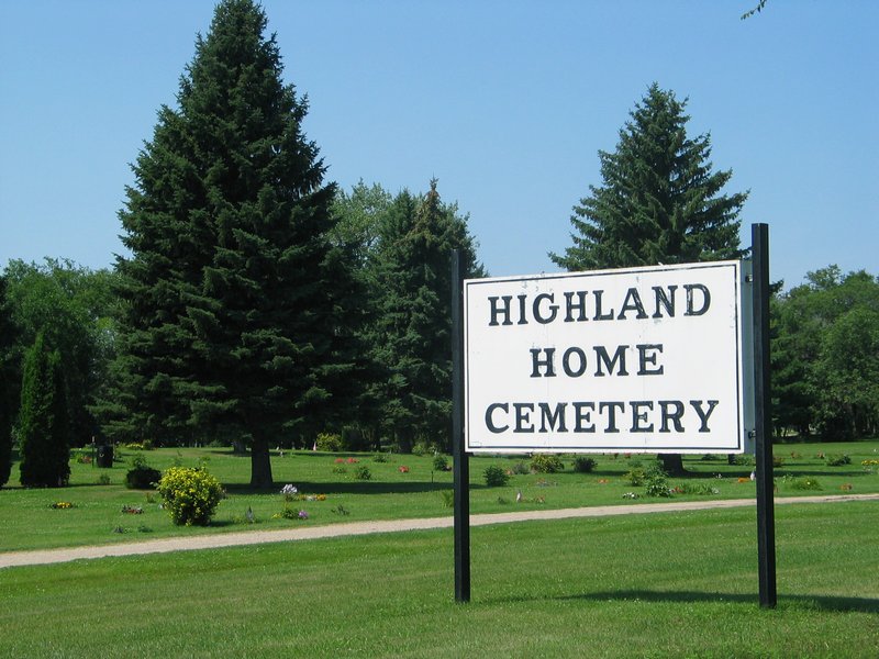 |
Highland Home Cemetery, Jamestown, ND Located along 19th St. NW near 27th St. NW Directions from Jamestown: Go about 2 mi. north on US 281. Latitude: 46.933N, Longitude: -98.734W |
Alvina Buckwalter Bill and Anna (Schneekloth) Maas Carl F. J. Maas Herbert Maas Hermine M.(Rieck) Maas Margaret Maas Otto Maas |
 (photo courtesy of Susan Richter) (photo courtesy of Susan Richter) |
Medina Cemetery, Medina, ND Located one half mile south of town at 3611 55th Ave SE. Latitude: 46.887N, Longitude: -99.300W |
Adolph and Rose Meidinger Donald Meidinger Fred and Christina Meidinger |
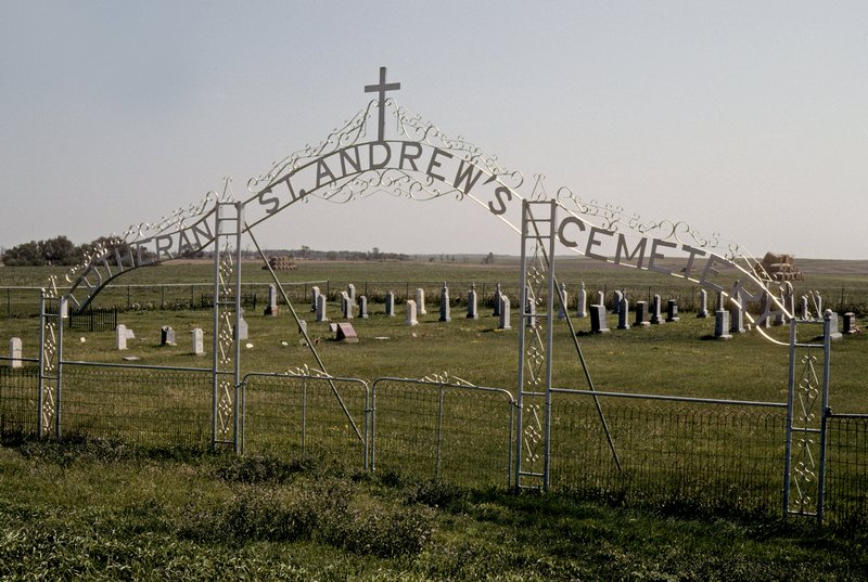 |
St. Andrews Lutheran Cemetery, rural Zeeland, ND Located southeast of Zeeland at the junction of 101st St. SE and 27th Ave. SE in McIntosh County. Directions from Wishek: 9 mi. west on Hwy. 13; 10 mi. south on County Hwy. 35; then 1 mi. west on gravel road. Latitude: 45.955N, Longitude: -99.816W |
Barbara (Frey) Just Christof Just George and Christina (Rudolf) Just Katharina Schnabel |
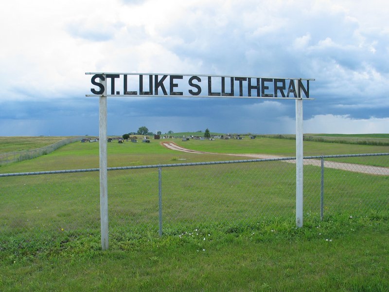 |
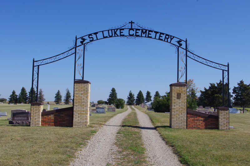
St. Lukes Lutheran Cemetery, Streeter, ND Located northwest of Streeter on 52nd Ave. SE Latitude: 46.667N, Longitude: -99.366W |
Harold Bachman Barbara Gramm Christina (Gramm) Meidinger Jacob and Martha (Schnabel) Meidinger Peter Meidinger |
 |
St. Luke Lutheran Cemetery, Wishek, ND Located one half mile NE of town east of 40th Ave. SE Latitude: 46.267N, Longitude: -99.543W |
Jacob and Katherine (Meidinger) Frey Andreas and Rosina (Wiest) Just August and Albina (Ketterling) Just Fred and Magdalina (Schwindt) Just Gerhardt and Lillian (Rau) Just Gustav and Barbara (Vossler) Just Jacob A. Just Jacob and Ottelia (Eckman) Just Rueben Just Otto and Martha (Schwind) Meidinger Walter and Agnes Meidinger Ludwig and Eva (Aipperspach) Rudolf |
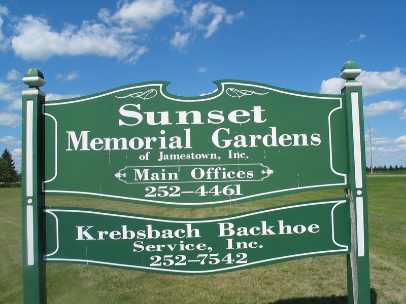 |
Sunset Memorial Gardens Cemetery, Jamestown, ND Located at 3225 Highway 20 Directions from Jamestown: Take Hwy. 20 north about 2 mi. to 32nd St. SE. Latitude: 46.948N, Longitude: -98.693W |
Glenn and Marie (Maas) Buckwalter Arnold and Bertha (Meidinger) Letcher Francis and Emma Letcher Fred Maas Walter and Lydia Maas |
OKLAHOMA
| Photos | Descriptions | Names |
|---|---|---|
 |
Bennington Cemetery, Bryan County, Bennington, OK Located 0.5 mi. east of Bennington on Winters Creek road. Latitude: 34.0041N, Longitude: -96.0326W |
Felix Franklin Fry Daisy Mae (Beardsley) Vanderburg Hazel Inez Vanderburg Mary Adelia Vanderburg Thomas Calvin Vanderburg |
TEXAS
| Photos | Descriptions | Names |
|---|---|---|
 (photo courtesy of Nancy Matthews) (photo courtesy of Nancy Matthews) |
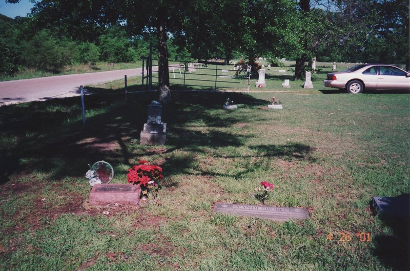
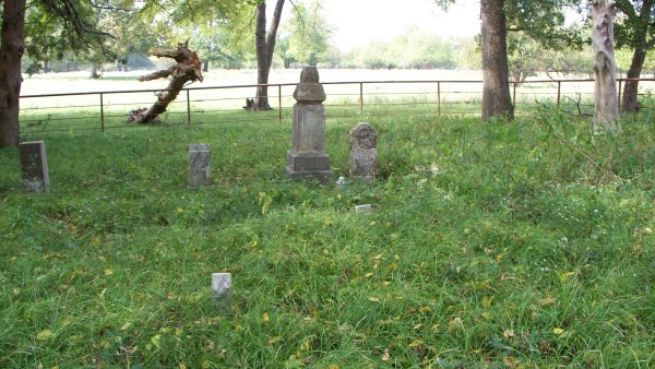
Garner Family Cemetery, Gadston, TX This abandoned rural cemetery is located about 12 mi. south of Paris, TX in a cow pasture on the west side of the Old Dallas highway (Lamar Co. Rd. 14760). It is about 0.7 mi. north of where the Co. Rd. 14760 intersects with Hwy 24. Directions from Paris, TX: Go south on Hwy 24 to Lamar Co. Rd. 14760 (just before crossing the Sulphur River) and turn left and follow the road to the northeast. About 3/4 mi. up the road is a farmstead on the right. The cemetery is about 100 yards northeast of the metal barn (Gene Maas 4/29/2001) . Latitude: 33.492N, Longitude: -95.58W |
Julius Abiel Vanderburg |
© - Gene Maas
rev. 8 May 2018
![]()
![]()